Historic California Posts, Camps,
Stations and Airfields
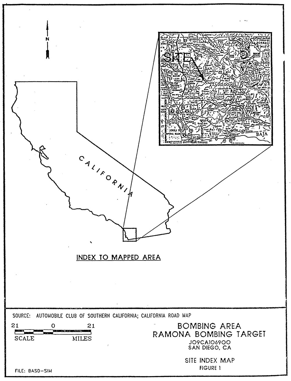
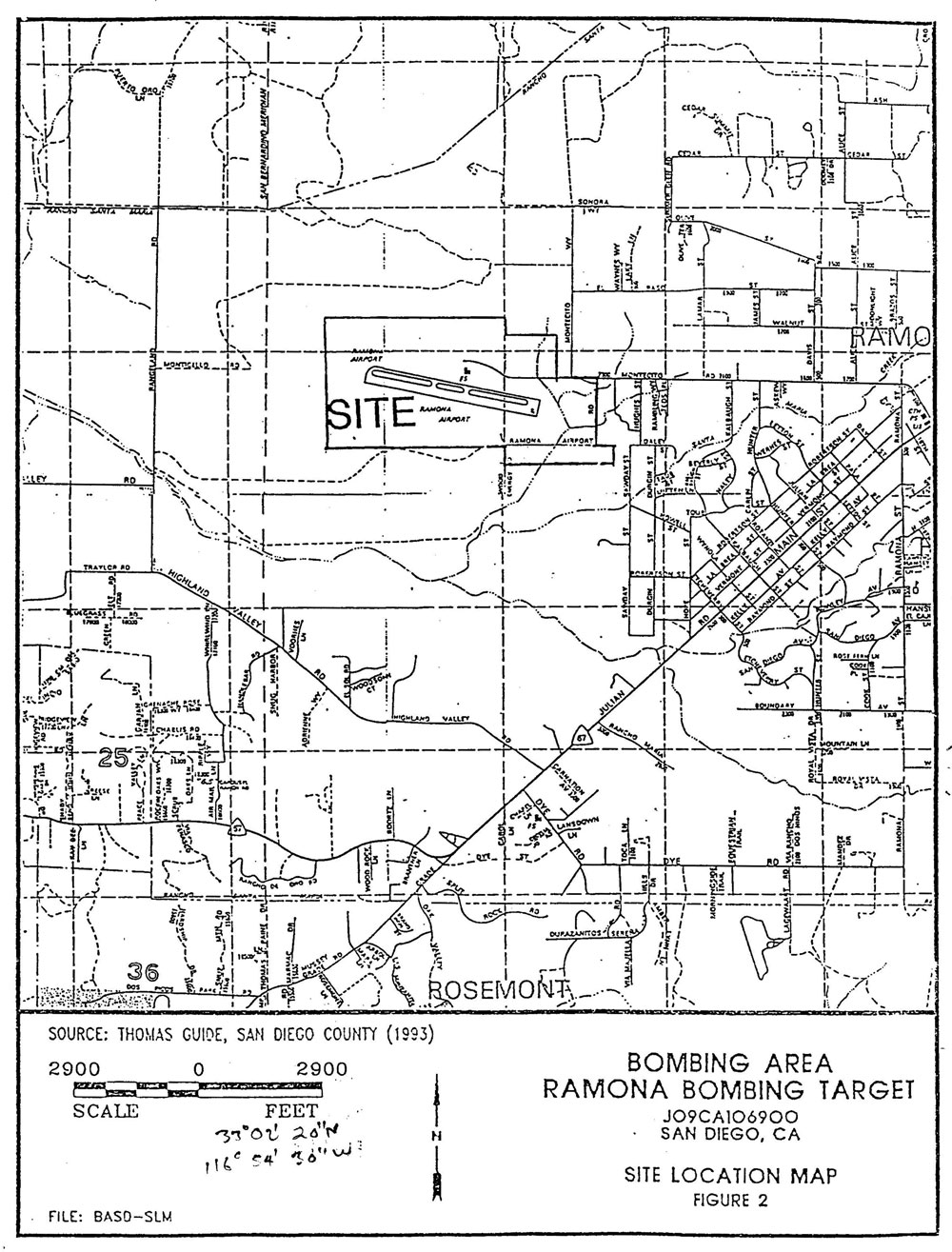
Ramona Bombing Target
(Naval Outlying Field Ramona,
Ramona Emergency Landing Field)
US Army Corps of Engineers St. Louis
District History (1998)
On 15 October 1943, the Eleventh Naval District leased 155.7
acres to establish the Ramona Bombing Target for use by the Naval
Air Center (NAC) San Diego. The Interdepartmental Air Traffic
Control Board (IATCB) approved of the use of the site on 16 December
that year. Presumably, the Eleventh Naval District began using
the Ramona Bombing Target shortly thereafter. Although the target
was assigned to NAC San Diego, it could permit another
unit to use such target. Therefore it is possible that
other Naval or Marine Corps aviation facilities in the Eleventh
Naval District used the site.
Eleventh Naval District fighter-bombers used the Ramona Bombing
Target for dive bombing training. The site was set up as a practice
bomb target with concentric circles simulating a
destroyer deck. The targets center had coordinates of 33°
02 00 Latitude and 116° 54 48 Longitude.
The IATCB rescinded the Danger Area for the Dive Bombing Target
at Ramona on 6
September 1944, in order for the Navy to construct a landing
strip at that location.
After acquiring the required additional property, the Navy built
one airmaft runway and a hangar building and the airstrip became
the Ramona Emergency Landing Field. On 26 February 1947, San
Diego County took possessiono f the airstrip and its facilities
under lease NOy(R)-43693 with the Navy. When the lease expired,
the county received a Revocable Permit on 27 February 1952. On
14 August 1956, the field was reported as excess to the General
Services Administration. San Diego County received the property
by Quitclaim Deed dated 28 December 1956, recording it on 9 May
1957. The property continues to operate as a civilian airport.
US Army Corps of Engineers Los Angeles
District History (1994)
A total of 326.54 acres of land were acquired
by the Navy Department for the Ramona Bombing Target and Landing
Strip. The property was obtained by the US Navy through a Declaration
of Taking prior to 20 December 1944. The acquired property comprised
of four parcels. They were obtained from private parties as follows:
Parcel 1 - 77.85 acres - John S. Hawley
III
Parcel 2 - 155.70 acres - Robert Alling
Hawley
Parcel 3 - 68.75 acres - John S. Hawley
III
Parcel 4 - 24.24 acres - George and Emile
Sawday.
The property was used by the Department
of the Navy as both a bombing target and landing strip. Improvements
made to the property during Navy occupation include one small
"civilian-type" plane hanger and one asphaltic-concrete
(AC) runway, 250 feet wide by 4,000 feet long. Use of the property
by the Navy during World War II is indicated. Post Horld War
II use of the property is not clear from the documentation.
On 6 August 1956, the property was declared excess by the Department
of the Navy. Ownership of the property was transferred to the
County of San Diego on 28 December 1956. At the time of disposal,
the existing improvements were also transferred over to the County
of San Diego. Currently, the majority of the original acreage
(281.62 acres) of the former Navy property is owned by the County
of San Diego. The southernmost portion of Parcels 1(23.22 acres)
and 2 (21.70 acres) is now owned by the William J. Casney Trust.
The property is either maintained as a municipal airport or is
undeveloped.