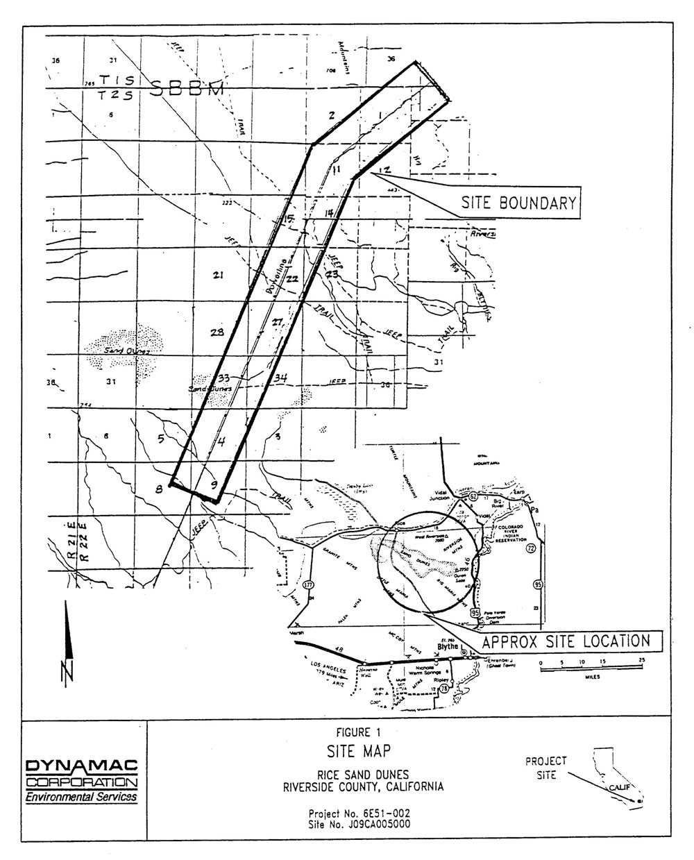
The site was approximately 5,000-acres and was used for strafing and bombing training during World War II in conjunction with operations at the Rice Army Air Field and Rice Divisional Camp, installation created as part of the California - Arizona Maneuver Area Desert Training Center.
There was no information available concerning disposal of the site. However, current information indicates that the site is owned and maintained by the Department of Interior.
Site History: No information pertaining to War Department ownership for the subject site was identified in the Army Corps of Engineers - Los Angeles District real estate files. Review of historical real estate'information for Township 1 South, Ranges 22 and 23 East, Township 2 South, Ranges 22 and 23 East, and Township 3 South, Range 22 East at the California Desert District Office of the Bureau of Land Management in Riverside, California did not reveal prior ownership of any lands in this area by the War Department.
The area containing the current power line was reportedly utilized by the military for strafing and bombing training during World War II in conjunction with operations at the Rice Army Airfield and Rice Divisional Camp, installations created as part of the California-Arizona Maneuver Area/Desert Training Center.
At some point after operation of the California-Arizona Maneuver Area Desert Training Center ceased, the power line was constructed. Review of historical information at the Bureau of Land Management California Desert District Office in Riverside, California revealed that lands were transferred from the BLM for a transmission power line in 1969.