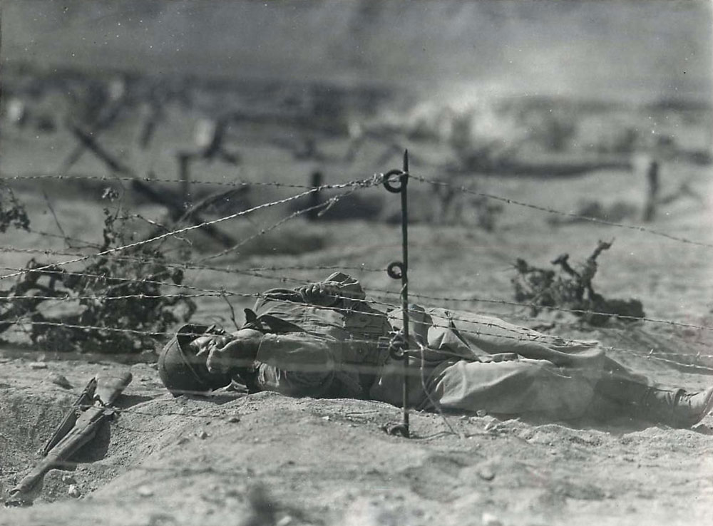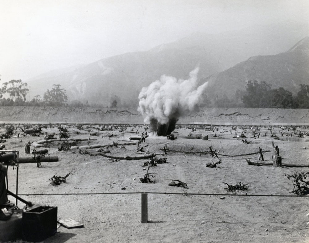
area for the Army personnel stationed at Camp Santa Anita during World War II. The only notable improvement resulting from army use of the site was the clearing and maintenance of a fire break. Small arms practice firing activities included pistol and rifle ranges, a transition or infiltration range, and a miniature anti-aircraft range. Leasehold interests in these properties were terminated in 1944 and 1945.
- "No improvements were placed on the lands and no restoration work is deemed necessary. The lands have been examined and have been found to be free from explosives or explosive objects reasonably possible to detect by careful visual inspection."
residents revealed that numerous lead fragments (i.e., bullets) were found in the foothills following Army use of the area.
Access to these areas is now limited due to residential development and dense vegetative cover.

by term subsequent to a Declaration of Taking.
The Santa Anita Ordnance Training Center Rifle Range was acquired by the Army for use as a training area for personnel stationed at the Santa Anita Ordnance Training Center during World War II. Reported use of the range included a rifle range, pistol range, transition or infiltration range, and a miniature antiaircraft range. The range was used by the Army between early 1943
and May of 1944 when the Ordnance Training Center at Camp Santa Anita was decommissioned. No improvements were constructed at the site with the exception of the clearing and maintenance of a quarter-mile fire break as required by the Forest Service use permits.
The leased property, comprising 658.665 acres of the range area, was declared surplus by directive dated 12 July 1944. Leasehold interests in these properties were terminated between
September of 1944 and June of 1945. Forest Service lands covered by use permit were relinquished by letter dated 1 June 1950. The private properties that were leased as part of the range are
currently, for the most part, developed as residential housing. A monastery and retreat house occupy approximately 50 acres of the former range. The remainder of the formerly private lands are
owned by the City of Sierra Madre or the County of Los Angeles and have been developed for beneficial use. The Forest Service lands remain relatively undisturbed as part of the Angeles National Forest.
