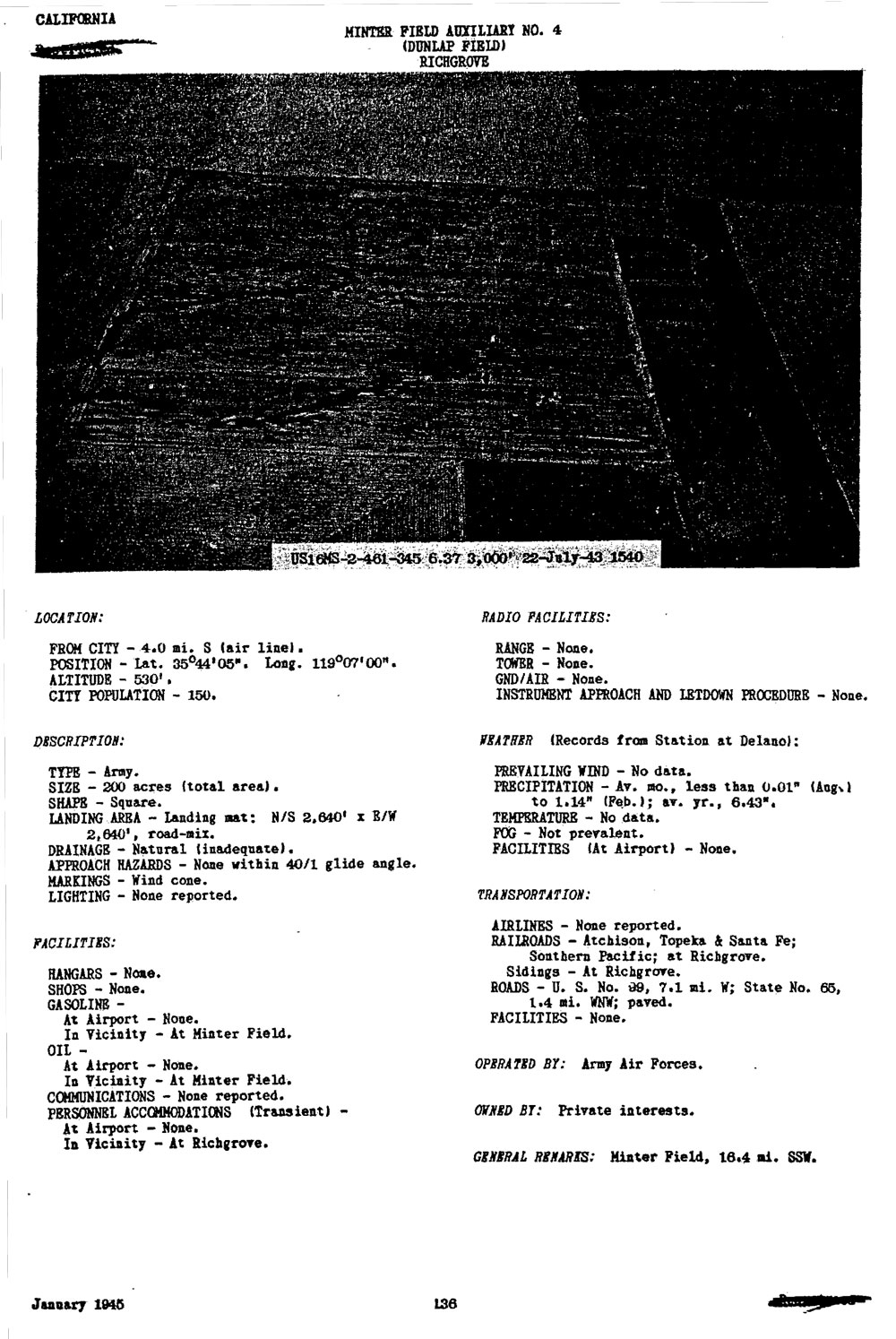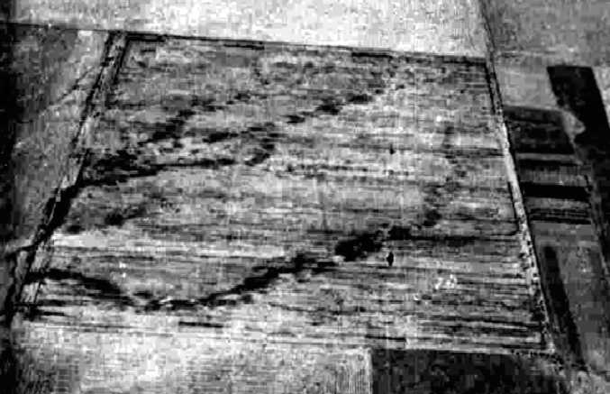
Previously used for grazing and dry farming, Dunlap Auxiliary Field #4 was used to support what was then Minter Airfield. Along with other auxiliary airfields surrounding.Minter Airfield, Dunlap Auxiliary Field #4 was used for training pilots in landing and take-off maneuvers and provided an emergency landing airfield. In addition to the asphalt runway, structures constructed at the site were a stagehouse, a crash truck shelter, and a latrine.
On 1 November 1945 the 10. 18-acres' easements were deeded to the county of Kern, though a right-of-way was reserved over the same land by the United States government. On 8 October 1946 the site was declared as surplus. On 15 November 1948, 160-acres were quitclaimed to the County of Kern. The remaining 40.04-acres were quitclaimed to the original owners on 8 December 1949. The site is currently used as a vineyard by Pandol and Sons.