USAF Air Combat Command
June, 1997

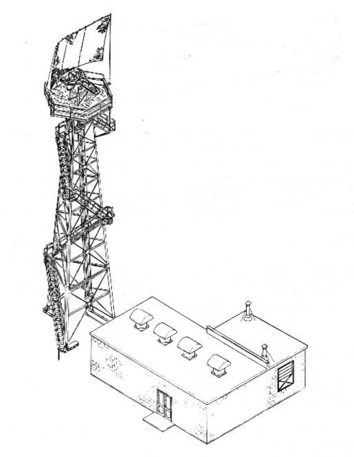
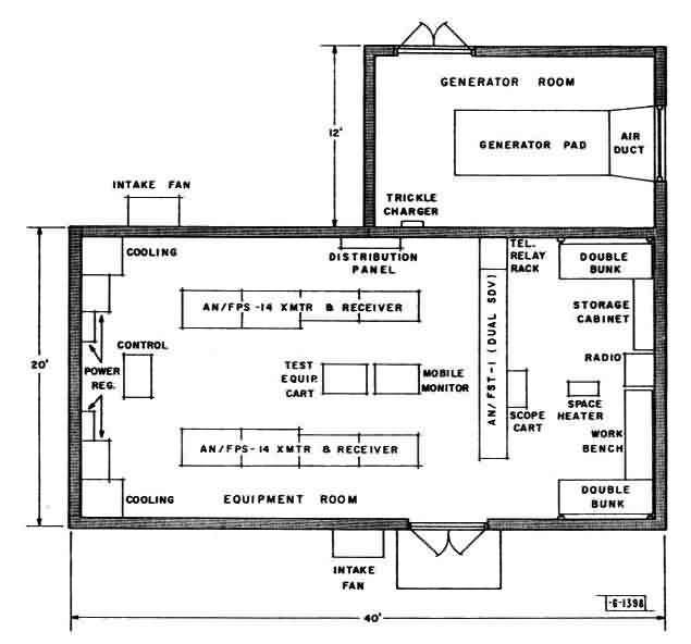
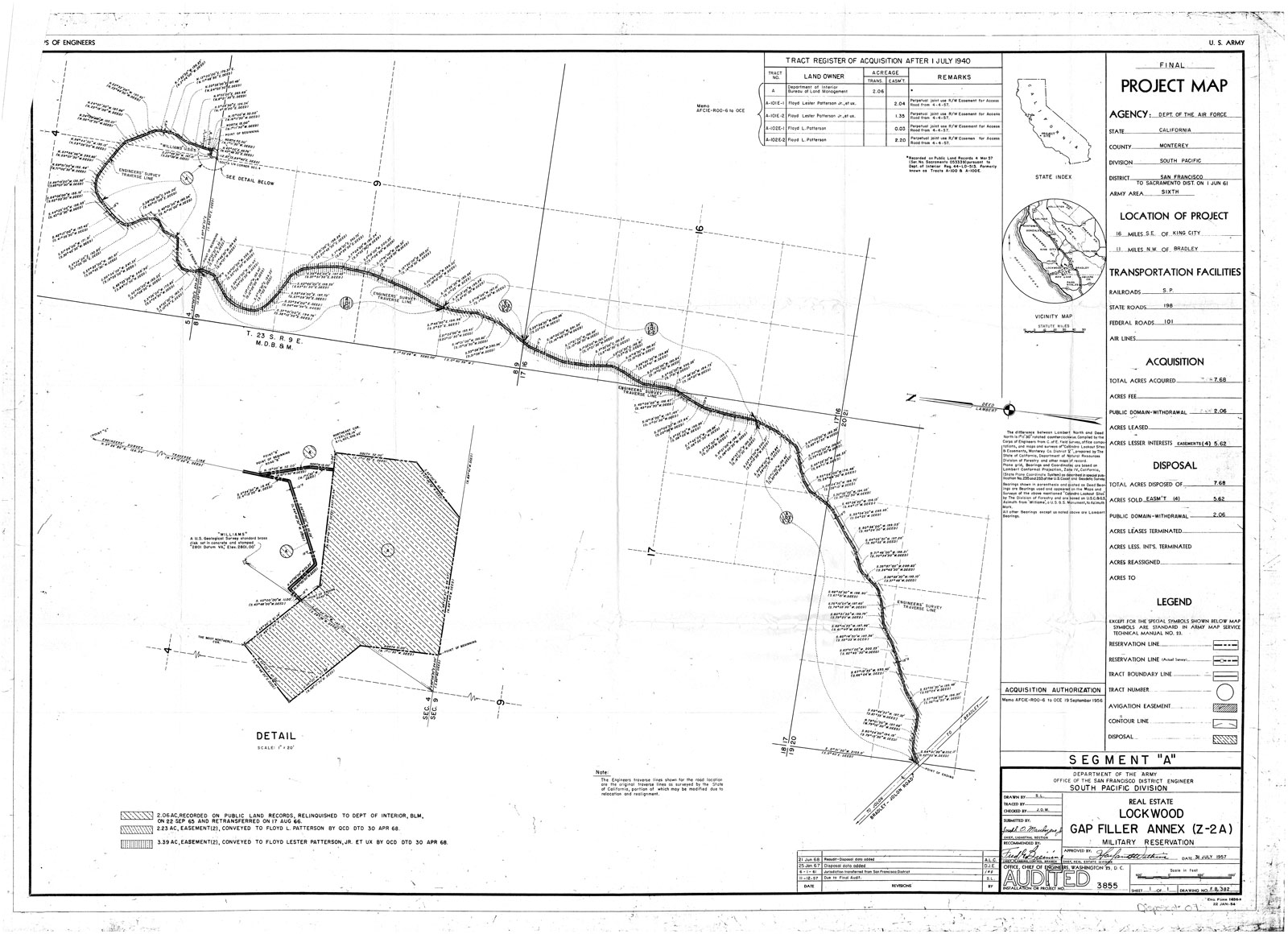
Site History: Air Force use began in 1957 with the acquisition of 2.06 public domain acres from the Department of the Interior (DOI), and 5.62 easement acres. An unmanned radar gap filler station to supplement the radar at Cambria Air Force Station was established on part of the 2.06 public domain acres, and the 5.62 easement acres were used as an access road. On 30 April 1968, the 5.62 easement acres were conveyed to Floyd L. Patterson, Jr. et ux. On 17 August 1966 the 2.06 public domain acres were retransferred to DOI, with the exception of 0.27 acre retained by DoD under open license. The radar gap filler station is located on this site and is still in use by the Army (Fort Hunter Liggitt). Adjacent to the Army communications station, on the remainder of the 2.06 DOI acres, the Bureau of Land Management (BLM) currently operates a fire observation station and communications site. A new road is used to access the communications sites from the west.
Corps of Engineers Real Estate Map
